Explore the Bay
Kachemak Bay stretches 25 miles from Homer Harbor to the upper bay, with more than 100 miles of coastline, active glaciers, sea bird rookeries, historic fishing villages, and some of the most productive halibut and salmon water in Alaska. Your K-Bay rental puts all of it within reach.
Key takeaways
What you’ll learn in this article
The operating range is 25 miles from Homer Harbor — from Flat Island in the south to Anchor Point in the north. This covers the entire productive fishing and sightseeing area of Kachemak Bay.
Kachemak Bay State Park, designated a critical habitat area since 1974, covers the south shore and protects one of Alaska's richest coastal ecosystems.
Gull Island, 3 miles from Homer Harbor, is Alaska's largest bird rookery and an unmissable stop on any bay exploration.
Halibut Cove, Seldovia, and the Grewingk Glacier area are the primary destination ports across the bay.
The geography of Kachemak Bay
Kachemak Bay runs roughly east-west from the Homer Spit to the Fox River delta at its head. The north shore — the Homer side — is dominated by the Kenai Mountains and bluffs. The south shore is part of Kachemak Bay State Park, a rugged wilderness of spruce forest, glaciers, fjords, and rocky coastline accessible only by boat or floatplane.
The bay is divided informally into the outer bay (from Homer Harbor westward toward Flat Island and beyond) and the inner bay (east of the spit, sometimes called 'up-the-bay'). The outer bay is the primary fishing ground for halibut. The inner bay is calmer in westerly winds, good for salmon and shorebird viewing, and leads to the upper bay destinations including Halibut Cove and the Grewingk Glacier.
The Homer Spit — a 4-mile natural gravel bar extending into the bay — is the departure point for everything. Homer Harbor sits at its end. The spit itself has restaurants, galleries, charter companies, and the famous Salty Dawg Saloon. The Nick Dudiak Fishing Lagoon at the base of the spit is stocked annually with Chinook and coho salmon and is a popular shore fishery.
Gull Island
Gull Island is a rocky islet located approximately 3 miles southwest of the Homer Spit, right on the way out to the main halibut grounds. It is Alaska's largest seabird rookery, hosting approximately 10,000 nesting seabirds of multiple species during summer.
Even if you're primarily going fishing, Gull Island is worth a slow pass on your way out. The concentration of seabirds at close range is genuinely remarkable — puffins, kittiwakes, murres, guillemots, and cormorants all nest here in dense colonies. In summer, the cliff faces are in constant motion.
Tip: approach Gull Island slowly and from downwind. The noise and smell are significant up close, but the birds are not disturbed by careful slow passes. Do not beach or land on the island — it's protected nesting habitat.
The Homer Spit and harbor area
The immediate area around Homer Harbor has its own productive fishing. The tip of the Homer Spit produces pollock and rockfish year-round, and salmon stack up near the spit entrance during summer runs. The Nick Dudiak Fishing Lagoon on the spit is a good option for families with younger anglers — stocked Chinook arrive in mid-May and peak in mid-June; coho follow in late June through August.
The water just outside the harbor entrance, around Land's End Resort, is a good spot to catch your own bait pollock with a metal jig before heading out to the halibut grounds.
The Compass Rose — 19 miles offshore
Roughly 19 miles southwest of Homer Harbor, the Compass Rose is the most famous halibut fishing ground in Kachemak Bay. Local nicknames include '10,000 Chickens' — a reference to the density of fish. The area is a large, relatively flat plateau at about 100 feet of depth. Limits are consistently achieved here more than anywhere else in the bay.
The Compass Rose is also where you're most likely to catch a tagged research halibut. ADF&G tags halibut for population research — if you catch a tagged fish, report it to ADF&G for a small reward and the satisfaction of contributing to fisheries science.
Distance and exposure make the Compass Rose a weather-dependent destination. It's a 45–60 minute run from the harbor. Check the forecast carefully and plan to be headed back before the day-breeze builds.
The Bluffs — Anchor Point to High Bluff
The bluffs on the west side of the bay, running from Anchor Point (the northern limit of your operating range) south toward the Homer Spit, offer 20–60 feet of water over mixed bottom. Fishing here is slower for numbers but produces larger fish on average than the Compass Rose. The shallow water means you can use light sinkers — 1 pound is often sufficient.
The area from the Spit to Whiskey Gulch and Deep Creek on the north shore is accessible even by anglers without boats, but the best fishing is from a boat where you can position precisely over structure.
Seldovia
The village of Seldovia is located approximately 20 miles southwest of Homer, accessible only by air or water. It's a small, historically significant fishing village with a boardwalk, local restaurant, and one of the most protected small-boat harbors in the area.
Seldovia Bay produces good halibut fishing in 150–250 feet of water directly in front of the bay entrance. The inner bay has stocked Chinook salmon beginning in mid-May. The village itself is worth a visit — Seldovia has been a fishing and trading outpost since Russian colonial times and retains a distinctly Alaskan character.
Navigation note: the entrance to Seldovia Bay and Point Pogibshi nearby are known for tidal rips. Approach carefully on a strong current. The channel into Seldovia's inner harbor is marked — follow the markers.
Halibut Cove
Halibut Cove is a small, aesthetically remarkable community on the south shore of Kachemak Bay, about 12 miles from Homer. The cove itself is a narrow, protected passage lined with galleries, private residences, and the famous Saltry Restaurant (advance reservations required). The cove has no roads — all transportation is by floatplane and boat.
Approach from the east, keeping to the main channel and watching depth on your GPS. The cove becomes very shallow in the upper reach. Halibut Cove Lagoon, accessible by foot trail from the cove entrance, is a protected tidal lagoon worth exploring on an incoming tide.
Kachemak Bay State Park and the south shore
The entire south shore of Kachemak Bay is part of Kachemak Bay State Park, designated in 1970 and one of Alaska's first state parks. The park is accessible only by water. Key destinations for boaters:
- Grewingk Glacier and Lake: the glacier flows from the Kenai Mountains down to a terminal moraine lake that can be visited by trail from Glacier Spit. The hike is moderate and rewards with views of blue icebergs and the glacier face. Water taxi services run from Homer — you can also anchor off Glacier Spit and take a skiff if you're in a larger group.
- China Poot Bay: a sheltered bay on the south shore, 4 miles southeast of the Homer Spit. The southwestern arm of China Poot Bay is the best spot for sockeye salmon in Kachemak Bay — stocked fish concentrate here before entering China Poot Creek. Note: mud flats in China Poot are extensive and access requires high tide.
- Bear Cove: a protected anchorage on the north shore of the inner bay. Relatively calm in most wind directions and a good weather shelter.
- Grace Ridge and Sadie Knob: hiking trails accessible from the south shore. Rocky, rugged alpine terrain with panoramic views of the bay.
The outer bay and Flat Island
Flat Island marks the southern boundary of the K-Bay operating range, approximately 17 miles from Homer Harbor. The island sits at the mouth of Kachemak Bay where it meets the open Gulf of Alaska. Current runs strongly around Flat Island, particularly at the south end — approach with awareness of tidal stage and avoid the area during peak current on wind-against-tide days.
The waters around Flat Island can be productive for halibut, though conditions here are more exposed than the inner bay. This is not a destination for calm exploration — it's a fishing destination for experienced boaters with a firm handle on the weather and tide.
What to bring for a day of exploration
- Binoculars: included on every K-Bay boat, but bring personal binoculars if you have them. Wildlife viewing is significantly better at 10x magnification.
- Camera: waterproof case or dedicated waterproof camera. The scenery in K-Bay is exceptional and conditions are often spray-heavy.
- Chart and tide book: both in the glove box. Use them actively.
- Layered clothing: conditions across the bay vary significantly in a single day. What's comfortable at the spit may be cold and rainy at Seldovia.
- Food and water for the full day: there is no resupply once you leave the harbor.
prepare for adventure

Ready to get on the water?
Book your day on Kachemak Bay
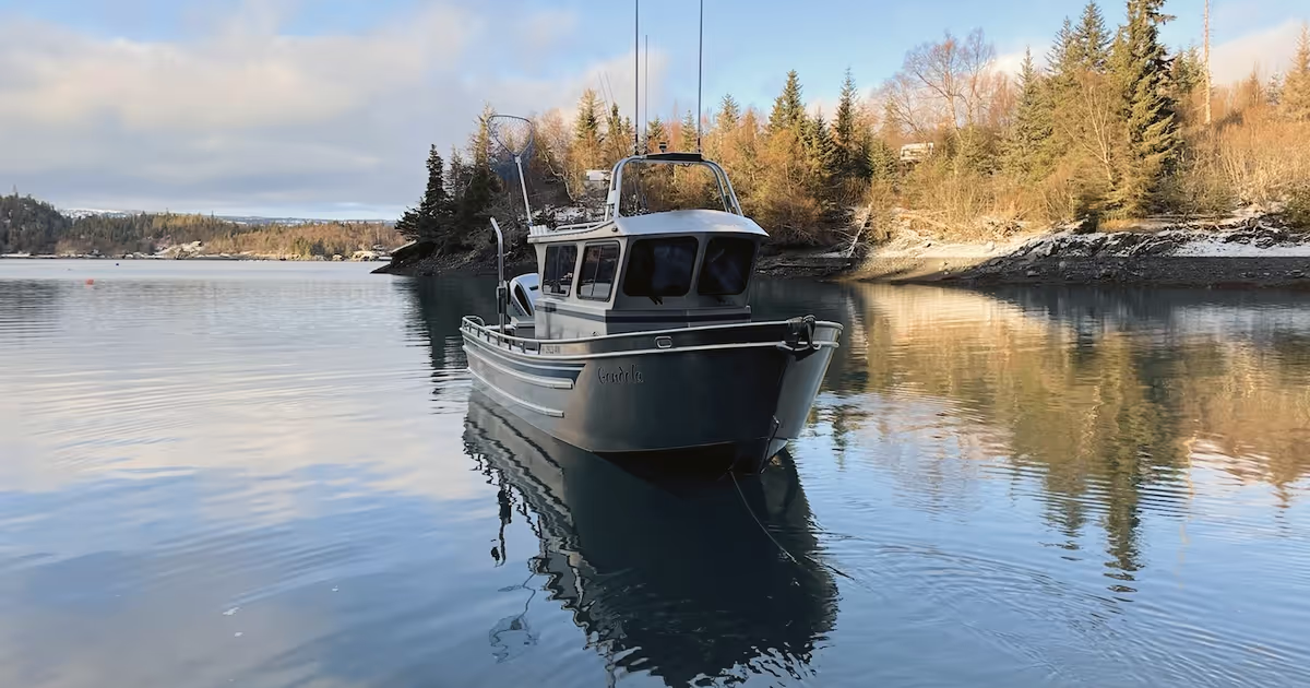
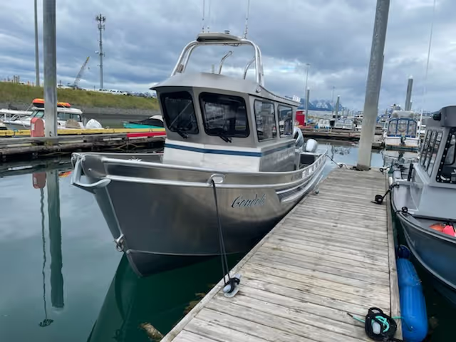
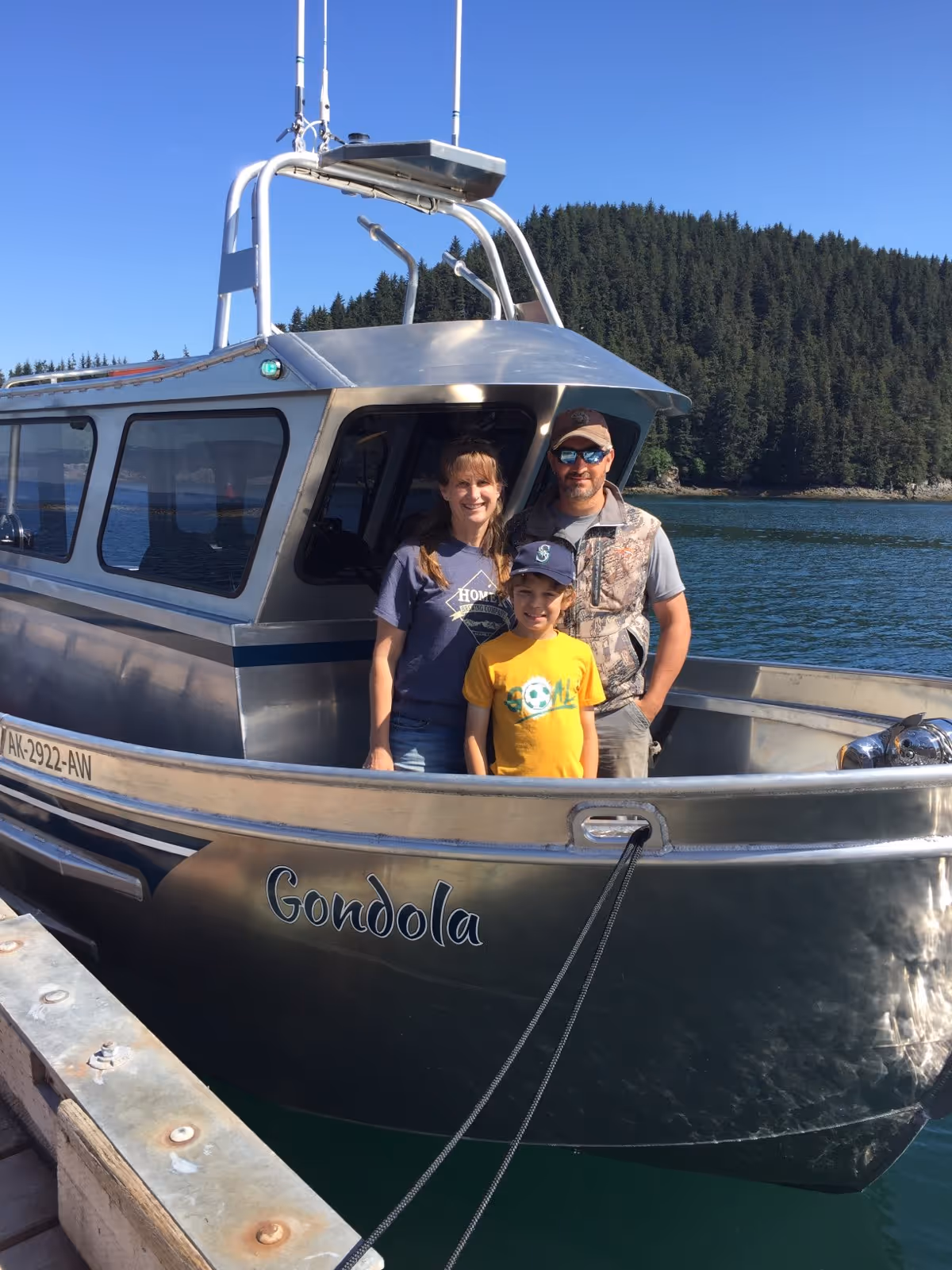
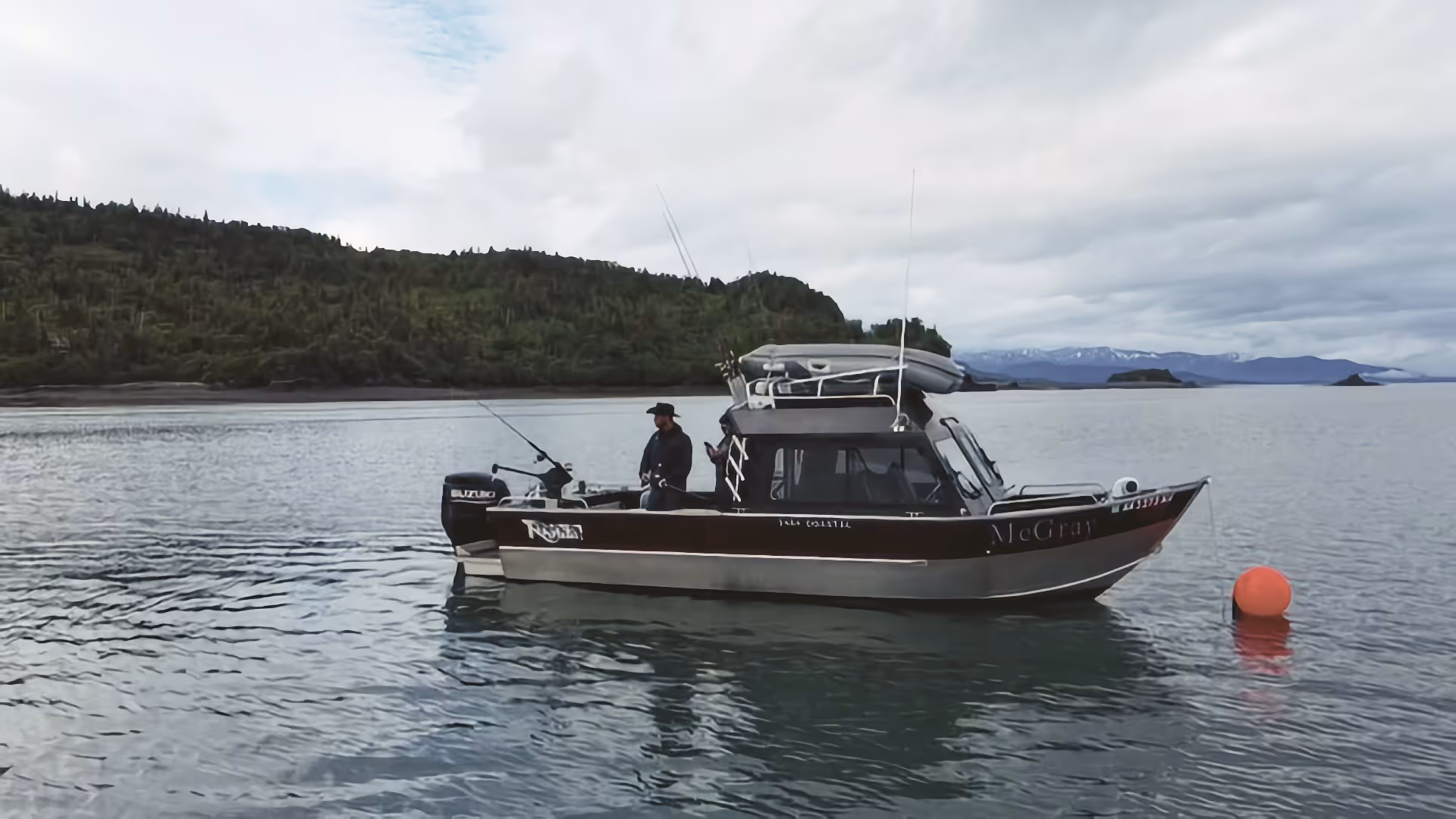
Fully equipped boats available May–August from Homer Harbor. McGray, Gondola, and Sea Runner — check availability and reserve your date.