Tide Timing
Cook Inlet is home to the second-largest tidal range in the world, with swings exceeding 26 feet at the upper inlet. In Kachemak Bay, tidal ranges of 16–20 feet are common. These tides aren't just a curiosity — they determine where you can fish, whether you can anchor safely, and when conditions become dangerous.

Key takeaways
What you’ll learn in this article
Use the Seldovia section of the tide book to predict Kachemak Bay tide times.
Tidal corrections: Compass Rose = 1 hour later. Anchor Point 'Bananas' = 2 hours later. South end of Flat Island = 1 hour earlier.
Wind-against-tide creates the roughest sea conditions. Time your fishing to avoid this combination.
Test drift before anchoring: you need less than 2 knots of current to effectively fish in 200 feet of water.
Why Cook Inlet tides are extreme
The Cook Inlet tidal system is driven by resonance — the shape and length of the inlet happens to match the natural period of tidal oscillation, amplifying tidal range dramatically. At the northern end of Cook Inlet (near Anchorage), tidal ranges can reach 38 feet — among the highest in the world. In Kachemak Bay, ranges are typically 16–20 feet.
What this means practically: a boat anchored over a flat at low tide may find itself in 18–20 feet more water six hours later at high tide. Navigable channels at high tide can become exposed mud flats at low tide. Current speeds in constricted passages can reach 6–8 knots — faster than many small boats can make headway.
Reading the tide book
Every K-Bay boat has a tide book in the glove box. To predict tide times in Kachemak Bay, use the Seldovia section. Seldovia is the reference station for K-Bay because it sits in the lower bay and provides the most accurate baseline for local tidal predictions.
However, tides do not arrive at the same time everywhere in the bay. Significant corrections apply by location:
Seldovia
Reference station — use these times directly.
Homer Spit area
Approximately the same as Seldovia.
Compass Rose
~1 hour LATER than Seldovia.
Anchor Point ('Bananas')
~2 hours LATER than Seldovia.
South end of Flat Island
~1 hour EARLIER than Seldovia.
General rule
The farther west and north from Seldovia, the later the tide arrives.
Why this matters: if you're fishing the Compass Rose and the tide book says high tide is at 10am at Seldovia, the tide at the Compass Rose won't peak until around 11am. Fishing timing relative to the tide stage will be off by an hour if you don't apply the correction.
How tides affect fishing
Halibut are significantly influenced by tidal stage. Many experienced anglers find that halibut feed most actively at specific points in the tidal cycle — often the transitions between incoming and outgoing, or at slack tide. The challenge is that you won't know which stage is productive at a given spot until you've fished it through an entire cycle.
This is why experienced halibut fishermen commit to a location for hours rather than moving frequently. Choose a spot, anchor up, and fish through the tide stages: incoming speed-up, incoming full flow, incoming slow-down, high slack, outgoing speed-up, outgoing full flow, outgoing slow-down, low slack. Halibut that were absent at one stage may appear at the next.
Drift fishing is the fastest way to find fish concentrations. Drift with jigs in the current, mark GPS waypoints wherever you get strikes, then anchor up on the concentration.
Test drift — essential before anchoring
Before anchoring anywhere in Kachemak Bay, do a test drift. Shut off the engine, let the boat drift naturally with the current, and watch your GPS to estimate drift speed and direction. This tells you:
- How fast the tide is running at that location.
- Whether you can reach bottom effectively with the sinker weights you have.
- Where to set your anchor so that when you swing on the anchor line, you end up over the fish concentration.
A useful rule: you need less than 2 knots of drift to effectively fish in 200 feet of water with 3-pound sinkers. If the tide is running faster than that, your sinkers will be dragged off the bottom before they can sink to depth. You either need to wait for a slower tidal stage, move to shallower water, or use heavier sinkers.
When the sinkers stop hitting bottom — meaning the current has picked up enough to sweep them off — it's time to pull anchor and wait for a tide change.
Tidal rips — the hidden danger
Tidal rips are among the most dangerous conditions in Kachemak Bay and Cook Inlet. They develop when strong current passes through or over a constriction — a point of land, a submerged reef, a shallow bar. Sea state can go from manageable to violent in minutes with no additional wind.
The most dangerous rip locations in the K-Bay operating area:
- Point Pogibshi (Pogi): the point at the entrance to Seldovia Bay. Notorious for extremely rapid sea state changes, especially on a strong current. Some local knowledge calls this one of the most dangerous small-vessel passages in the bay.
- Flat Island (south end): strong current passes around and over the shallows at the south end of Flat Island. Rips develop without warning.
- Seldovia Bay entrance: similar conditions to Pogi on a strong current.
- The Compass Rose area: less dramatic but notable — offshore swell and current interact here differently than in the inner bay.
The practical rule: approach any of these areas carefully, and if conditions look rough as you approach, turn back. Don't try to push through a tidal rip in a 24-foot rental boat — the boat is capable, but conditions in an active rip can put water over the bow unexpectedly.
Tides and navigation — shallow water awareness
At low tide, areas that appeared navigable on the GPS chart at high tide may be dangerously shallow. The K-Bay GPS chartplotters show depth contours, but they reflect charted depth — not actual depth at any given tidal stage. Always account for the current tide stage when reading the chart in shallow areas.
The mud flats in China Poot Bay, the inner portion of Tutka Bay, and several coves along the south shore of the bay are accessible only at or near high tide. Running into these areas near low tide risks grounding — and in a bay with 16-foot tidal range, a grounded boat can be stranded for 6+ hours. Stay in deep water (white on the GPS chart) when you're uncertain about tidal depth.
Resources for tide prediction
- Tide book (in the glove box): Seldovia section. Update annually — the new edition is available at Homer tackle shops at the start of each season.
- NOAA Tides & Currents: tidesandcurrents.noaa.gov — enter 'Seldovia' for the reference station predictions.
- Fishing Reports: ADF&G posts weekly fishing reports with notes on tidal conditions at adfg.alaska.gov. The Homer sport fishing hotline is (907) 235-6930.
Plan your tide window
The best halibut fishing often happens in a specific 2–3 hour window relative to the tide. Most experienced K-Bay anglers fish the incoming tide through high slack, then pull anchor when the outgoing current gets too strong to hold bottom. That gives you a natural fishing window and a natural break point.
To plan yours: look up the Seldovia tide times for your trip date at tidesandcurrents.noaa.gov, apply the correction for wherever you intend to fish (see above), and identify the incoming and high slack windows. If your correction puts high slack at 11am at the Compass Rose, plan to be anchored and fishing by 8am and be ready to move by noon when the outgoing picks up.
Call 907-630-0928 before your trip if you want a local read on what stage of the tide has been producing. We track weekly fishing reports and can usually point you toward the productive window for your specific dates.
prepare for adventure
Ready to get on the water?
Book your day on Kachemak Bay
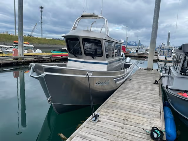
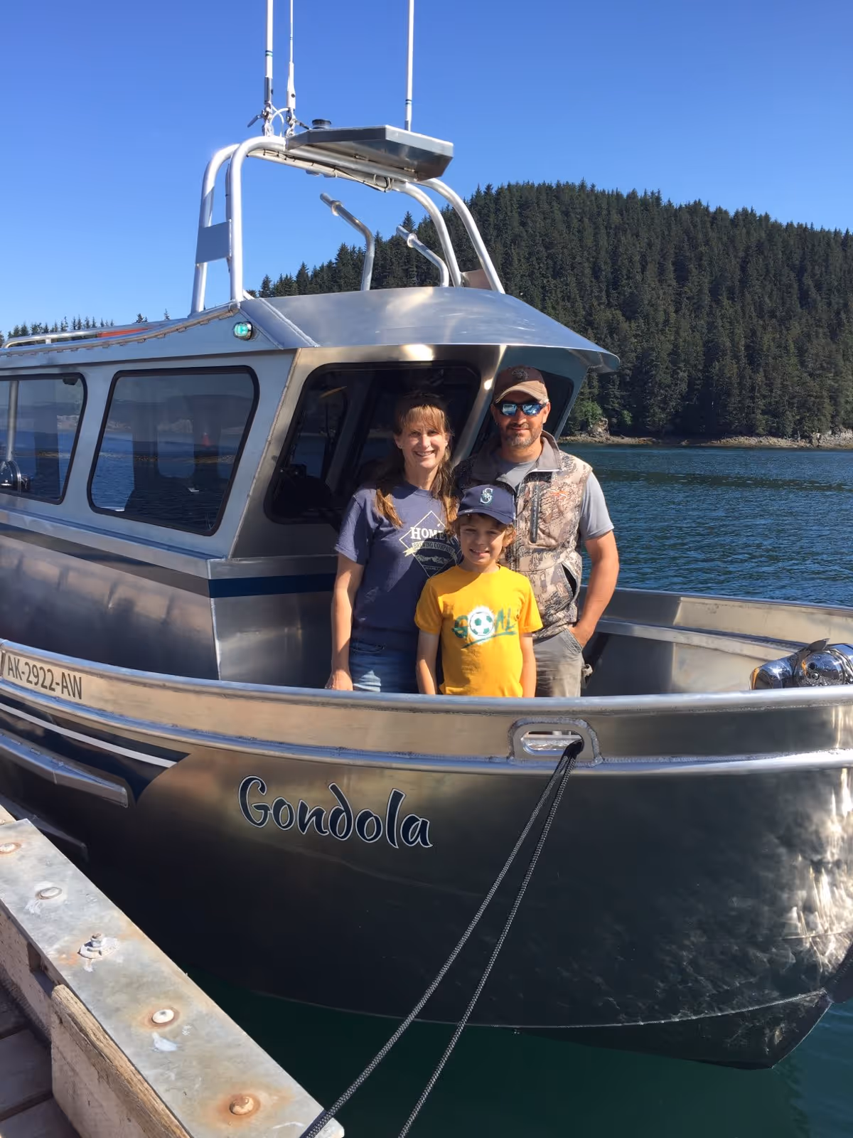
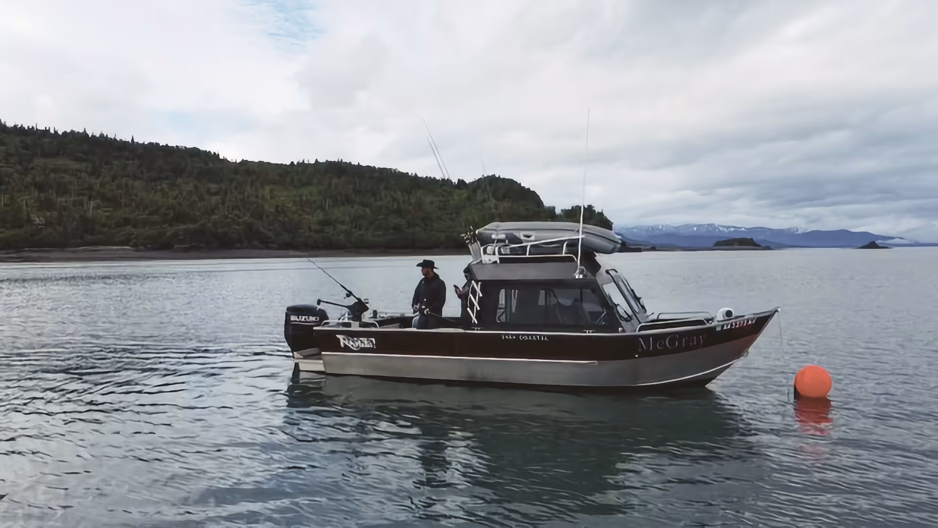
Fully equipped boats available May–August from Homer Harbor. McGray, Gondola, and Sea Runner — check availability and reserve your date.