Weather Wisdom
Kachemak Bay weather is manageable when you know what to look for. It's dangerous when you don't. This guide, built from 14 years of local charter knowledge, explains how maritime weather behaves in Cook Inlet and what to watch before and during your trip.
Key takeaways
What you’ll learn in this article
The K-Bay day-breeze builds from the west most sunny afternoons, starting around 2pm. Plan to be headed back by then.
Wind direction matters as much as wind speed. East wind is the most dangerous direction in Kachemak Bay.
Use three resources together: NOAA text forecast for wind direction, NOAA buoys for current conditions, PassageWeather for wind intensity.
Check NOAA WX channel 2 on the VHF the morning of your trip — it updates at 4am and 4pm.
Why Kachemak Bay weather is different
K-Bay sits at the end of a long, narrow inlet surrounded by mountains on three sides. This geography creates a natural wind funnel. When air moves through the bay, it's compressed and accelerated — a moderate wind in the open ocean can become a significant wind at the Homer Spit. Additionally, the bay's orientation means different wind directions affect different parts of the bay very differently.
Weather in Homer is also heavily influenced by Cook Inlet to the north and the Pacific Ocean to the south. Systems can develop quickly, and the forecast for this morning doesn't always match what actually happens this afternoon. Experienced local boaters use multiple forecasting tools and check conditions continuously.
The Kachemak Bay day-breeze
The day-breeze is the single most important weather phenomenon for K-Bay boaters to understand. It happens on sunny days, reliably, and it can transform glass-calm morning seas into 4–6 foot breaking waves by mid-afternoon.
Here's why it happens: land heats more rapidly than ocean water. As the air over the land warms and rises, cooler air from over the ocean is pulled in to replace it. Because K-Bay is a long, narrow bay, this influx of cool ocean air gets funneled and accelerated as it approaches the Homer Spit. The result is a west wind that typically begins around 2pm and continues until dark.
The day-breeze is worst on sunny days and almost absent on overcast days. On a clear June or July morning, the bay may be completely flat at 6am — and by 2pm, the west side of the spit can be unfishable with 4-foot whitecap chop.
Local strategy: leave the harbor as early as possible on sunny days. Fish your farthest spot first. Be headed back toward the Homer Spit by 1:30–2pm, before the day-breeze peaks.
Wind direction — what each means for K-Bay
Wind direction is more useful than wind speed alone for predicting where you can safely fish:
West and Southwest winds
Often associated with sunny conditions. The west side of the Homer Spit becomes unfishable as the day progresses. Up-the-bay (east of the spit) is usually fishable and sometimes calmer. Yukon Island area can be sheltered. These are typically day-breeze directions.
South winds
Creates rough conditions in bays and passes on the south side: Sadie Bay, Tutka Bay, Seldovia. Often unfishable beyond Point Pogibshi. Generally calmest on the south side of the bay itself. Flat Island and the Compass Rose may be accessible.
East and Southeast winds
East wind is the most dangerous direction on Kachemak Bay. Do not leave the harbor on a hard east wind. The area around the tip of the Homer Spit and the harbor entrance can become impassable — which means you can't get home. If you're already out when east wind builds, return immediately.
Southeast wind creates rough conditions in the same bays as south wind, plus China Poot. Conditions worsen closer to the spit — the tip of the spit can be among the worst spots in the bay. Generally calmest on the south side of the bay and up-the-bay.
North and Northeast winds
Northeast wind can make the area near the spit rough. Generally OK at Bear Cove and along the High Bluffs. Note: north or northeast wind blowing hard in Cook Inlet can send swell wrapping around Anchor Point, making the entire west side of the spit unfishable even though the wind itself isn't directly onshore. You have to come back through rough water to get home.
Three forecasting resources — how to use them together
NOAA text forecast
pafc.arh.noaa.gov — Best for wind direction and 5-day outlook. Updates at 4am and 4pm. Broadcast on VHF WX channel 2 continuously. Focus on Kachemak Bay and Cook Inlet (Kalgin Island to Point Bede) sections.
NOAA buoys
ndbc.noaa.gov — Best for current actual conditions, updated every 30 minutes. Most useful buoys: AUGA2 (Augustine Volcano), HMRA2 (Homer Spit), FILA2 (Flat Island), buoy 46108 (wave height near Compass Rose). Wave height of 2.0 feet or more is often unfishable for small vessels.
PassageWeather.com
passageweather.com — Best for wind intensity across the Homer/Kenai Peninsula region. If you see green or higher (20 knots or more) over the Homer area, conditions may be too rough for comfortable fishing. Note: times are in UTC — subtract 8 hours for Alaska local time.
Use all three resources together. The NOAA text forecast tells you wind direction; PassageWeather tells you intensity; NOAA buoys tell you what's actually happening right now. If PassageWeather shows high winds the NOAA text doesn't mention, trust PassageWeather — the text forecast sometimes lags behind fast-developing conditions.
Also use VHF WX channel 2 on the morning of your trip for the updated forecast, and check the buoy readings on ndbc.noaa.gov one final time before you leave. Conditions during a trip can be tracked by switching to WX channel 2 on the radio — listen periodically when anchored.
Wind-against-tide: the compounding factor
The roughest sea conditions in Kachemak Bay occur when wind and tide run in opposite directions. When wind and current move together, the water surface is relatively smooth. When they oppose each other, waves stack up, shorten, and steepen — the same 15-knot wind that creates 2-foot swells on a with-the-tide run can create 4-foot breaking chop when running against a strong tide.
This is especially dangerous at tidal constriction points: Point Pogibshi, the entrance to Seldovia Bay, the south end of Flat Island, and the Compass Rose area. At these locations, the current accelerates as it passes through the restriction, and wind-against-tide conditions can develop extreme sea states very rapidly. Check the tide stage before heading to any of these areas.
Reading conditions while you're on the water
- Watch the western horizon continuously on sunny days. Dark chop forming in the distance is the day-breeze arriving.
- Listen to VHF WX channel 2 periodically when anchored.
- Check the NOAA buoy readings on your phone if you have cell signal.
- If whitecaps are forming, sustained winds are at least 15 knots. Time to consider heading in.
- If another vessel is headed back toward the harbor, consider asking on channel 16 what conditions are like out where they were.
- If you can see the mountains across the bay clearly, visibility is good. If they're obscured, fog may be developing.
prepare for adventure

Ready to get on the water?
Book your day on Kachemak Bay
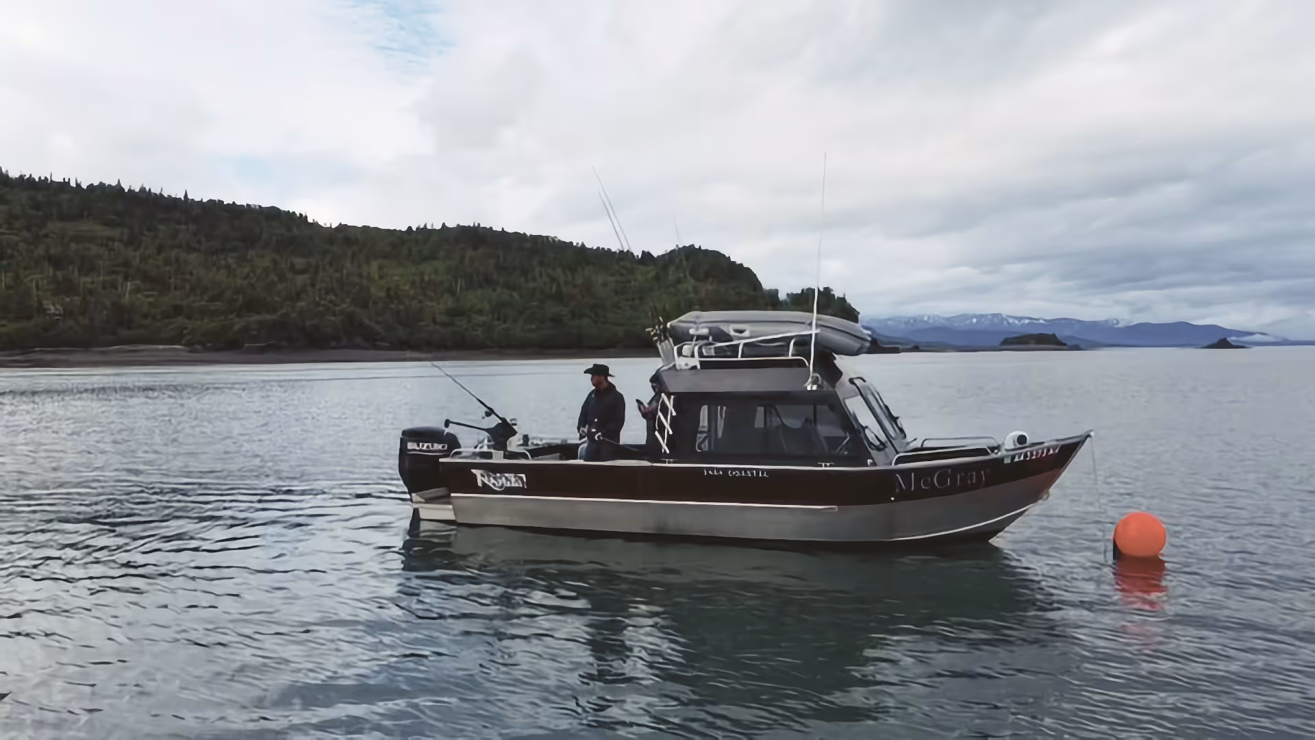
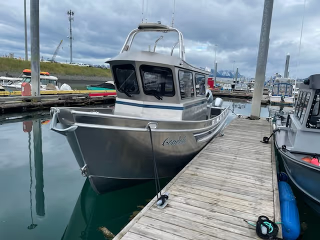
Fully equipped boats available May–August from Homer Harbor. McGray, Gondola, and Sea Runner — check availability and reserve your date.